Snowshoe Tour
Presentation of the location based information system for hikers in the pilot region of Montafon
January 11th, 2007 Within the GALILEO research programme, the LOCCATA project has developed a system that can receive location data and then make multi media information accessable. The results of the project were presented on January 11th, 2007 in the Montafon (Vorarlberg, Austria) on a snowshoe tour.
GALILEO Joint Undertaking Research and Development Activities, 6th Framework Programm GALILEO Joint Undertaking Research and Development Activities, 6th Framework Programm
The hiker can access information about the landscape, people, geology, history and much more at various points of interest. Right now information about more than 60 distinctive features in the Montafon are available in German and English.
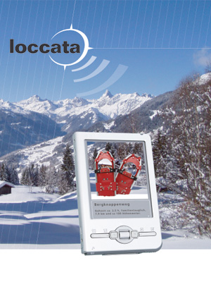
The hiker uses the service with their Java enabled mobile telephone which can receive Bluetooth and GPS. An alternative is provided by the Montafon tourism offices who will provide GPS enabled PDAs which will be equipped with GALILEO receivers in the future. The hiking experience comes alive with location based pictures, audios and texts.
The short documentation to the snowshoe tour describes in seven minutes the system behind LOCCATA.
Current hiking trails in the Montafon (http://galileo.telesis.at)
- Miner‘s Path on the Kristberg
- Litz River hike
- Cultural history tour of the village of Gaschurn
- Landscape path, Gaschurn-Partenen-Galtür
- Aqua-Hiking trail
- Geologic Trail
