Information at every turn
LOCCATA, a research and development project for the European satellite system GALILEO in the Montafon (Vorarlberg, Austria).
GALILEO
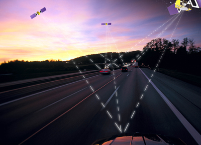
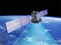
According to the calculations of the ESA, the number of satellites, the position of the orbits and their inclination make sure that every person, in any part of the world, can receive information from at least four satellites at any given time, and can therefore determine his or her exact position even in the especially important northern areas of Europe as far up as the polar region - unlike GPS. In most areas, there will be six to eight satellites within view, which would allow for positions to be calculated to within centimetres.
LOCCATA is a application project from the Galileo work programme.
The LOCCATA project will develop a system for mobile terminals, like mobile telephones and PDA’s, which receive position data from Galileo and make location based information available.
Just in Time Information on your hike; Information at the right time.
The system offers new possibilities for tourism services for:
- Adventure trails
Cultural landscape hikes - Hikes through the history of a region
Safety for the tourist and the hiker
Region
of Montafon as European pilot region for the GALILEO application LOCCATA
The Co-operation: OFFIS-Oldenburg, Telesis Entwicklungs-
und Management GmbH, Schruns Tschagguns Tourismus, Stand Montafon


